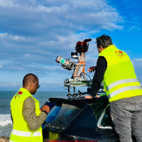
I am a surveying engineer (MSc in Geodesy) with hands-on experience on industrial, infrastructure and urban projects in Morocco and West Africa. I capture data myself (terrestrial...
Geometric Engineer Professional with Agisoft,Archicad,Blender experience
Bursa,
Turkey
I have eight years of experience in geometry.
In my current job, I create high-quality 3D terrain models from drone images.
I also create elevation maps, generate point clouds, and...
Architect with AutoCad, Revit, Photoshop and Lumion Experience
Abuja,
Nigeria
Senior Architect | Government-Trained | Precise Design • Buildable Drawings • Reliable Remote Delivery
I am a Senior Architect with extensive experience working within a governmen...