Civil engineer and architect dedicated to bridging structural precision with sustainable design
Surabaya,
Indonesia
I am a Civil Engineering graduate from the University of Jember in 2025. I am a person who always wants to learn and develop with good communication, leadership, responsibility, an...
I have spent the past 35+ years providing Architectural design,modeling, CAD support, BIM Management, Coordination, Project Management and other aspects of a project from concept t...
I am a Landscape Architect, Urban Designer, and Urban Planner with expertise as a BIM Modeler and Architect. I specialize in sustainable design, placemaking, and projects involving...
To work in a dynamic, intensive environment, where the creativity and interest can be found to develop the skills as well as the career with a strong emphasis on sustained growth a...
2D & 3D Architectural Design2D & 3D Engineering Design2D & 3D Floor Plans2D/3D AUTOCAD26
more
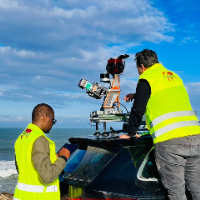
I am a surveying engineer (MSc in Geodesy) with hands-on experience on industrial, infrastructure and urban projects in Morocco and West Africa. I capture data myself (terrestrial...
I’m a Civil Engineer who combines technical design skills with real construction experience to deliver accurate, practical, and build-ready engineering solutions. I help clients tu...