I am a Landscape Architect, Urban Designer, and Urban Planner with expertise as a BIM Modeler and Architect. I specialize in sustainable design, placemaking, and projects involving...
Senior Civil 3D Road Designer, Grading, Drainage, Earthwork & Quantity
Phnom Penh,
Cambodia
I help engineering firms and land developers transform survey data and design concepts into accurate Civil 3D models and construction-ready drawings.
With 10+ years of civil infra...
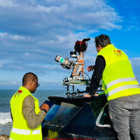
I am a surveying engineer (MSc in Geodesy) with hands-on experience on industrial, infrastructure and urban projects in Morocco and West Africa. I capture data myself (terrestrial...
I’m a Civil Engineer who combines technical design skills with real construction experience to deliver accurate, practical, and build-ready engineering solutions. I help clients tu...