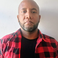
Land Surveyor specialized in LiDAR and photogrammetry post-processing, delivering accurate and engineering-ready terrain data for civil engineering and infrastructure projects.
I...
Geodesy-trained field surveyor turned CAD drafter. I convert survey data, engineering sketches and PDF redlines into clean, layer-organised Civil 3D and AutoCAD drawings that follo...
I am an experienced Land Surveyor and GIS & UAV Mapping Specialist with extensive field experience in land surveying, topographic mapping, drone mapping, CAD drafting, and geospati...