

Mixed-Use Master Plan 2 ha: AutoCAD on Survey

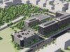
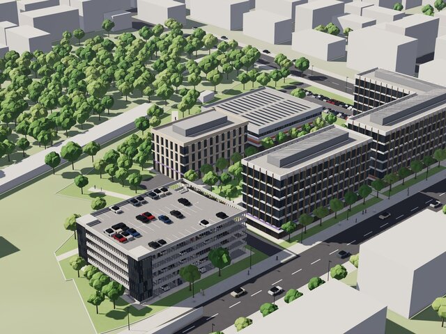
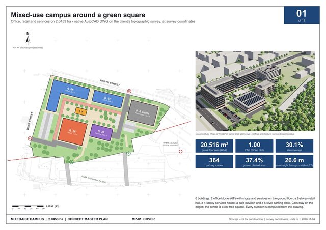
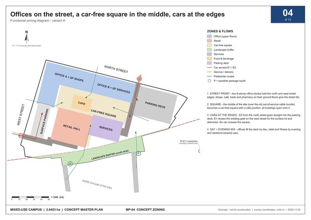
Concept master plan for a 2.04 ha mixed-use campus (design-contest concept, scheme 1 of 2): offices, retail hall, services house, cafe pavilion, a car-free central square and a 6-level parking deck.
Challenge: a real topographic survey with live cables and protection zones limited where buildings could go, and every area, height and parking figure had to agree across sheets and tables.
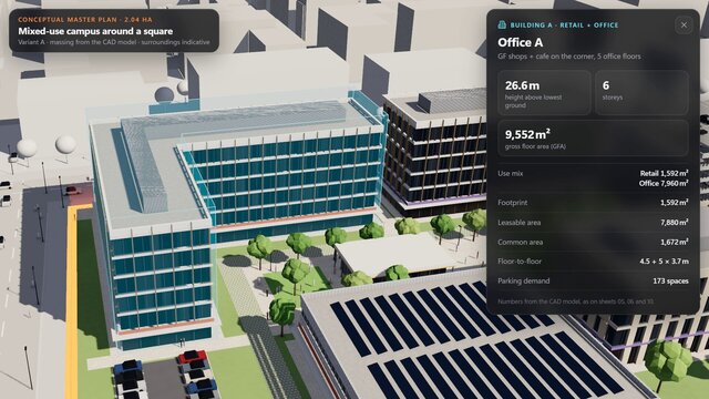
Solution: a Python design script writes the drawing with ezdxf, AutoCAD produces the DWG at survey coordinates, and the KPI table (GFA, FAR, coverage, green, parking) is generated from the same geometry, so drawing and numbers cannot drift apart. Massing views and an interactive 3D model were built from the same data.
Result: 12 A3 sheets (site analysis, master plan, zoning, circulation, sections, KPI table), plus 3D views.
Files: DWG master plan, images.
Files (5)
License:
CC - Attribution - Non-Commercial - No Derivatives
Learn more