
Gafgafa Road | Survey Data and CAD Handover


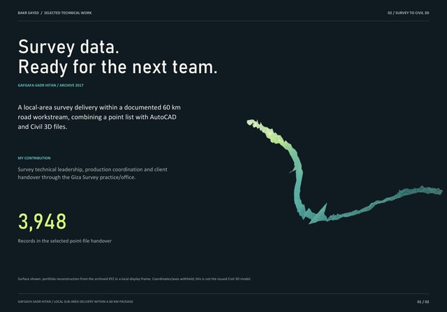
A local-area survey-data handover from the 2017 Gafgafa-Sadr Hitan road workstream, within a documented 60 km road context. The selected file contains 3,948 survey records, 3,948 unique point IDs and finite numeric XYZ values. The case documents coordinated point-list, AutoCAD and Civil 3D delivery in response to consultant requirements.
My role: survey technical leadership, coordination and data/client handover through the surveying practice active at that time. The displayed terrain is a portfolio reconstruction from archived XYZ in a local frame. It is not the historically issued model, does not cover the full road, and does not prove approval of a complete engineering road design. This is a survey/CAD handover case, not a corridor-model demonstration.
Published