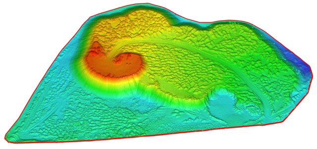


Drone mapping: orthomosaic, DTM, contours and stockpile volumes
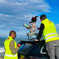
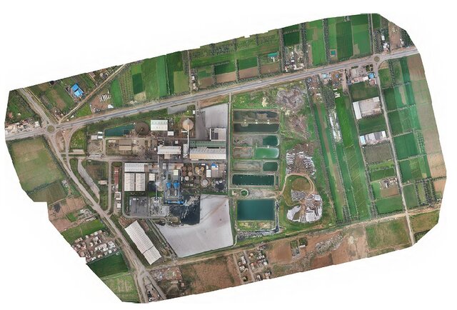
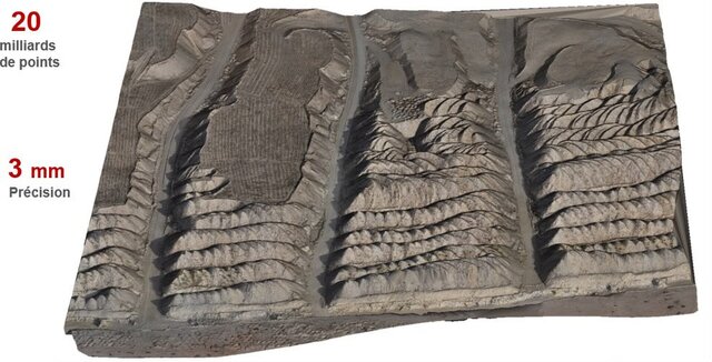
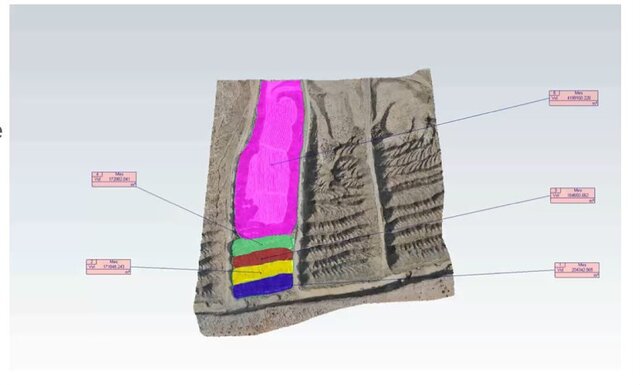
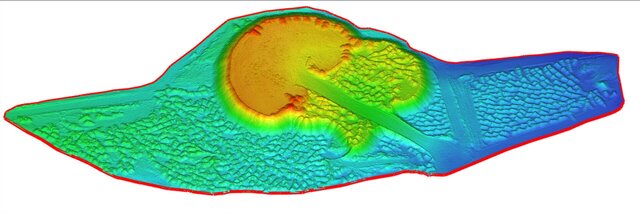
Drone photogrammetry surveys processed into survey-grade deliverables: georeferenced orthomosaic, DSM and cleaned DTM (ground only), contour lines and cut/fill or stockpile volume calculations with a report.
Projects include bi-monthly phosphate stockpile inventories, an 18,000+ ha aerial mapping and restitution project, a highway interchange survey and open-pit gold mine surveys.
Workflow: ground control points and GNSS processing, Pix4D / Agisoft Metashape / DJI Terra, terrain classification and volumes in Global Mapper and Civil 3D, drawings in AutoCAD.