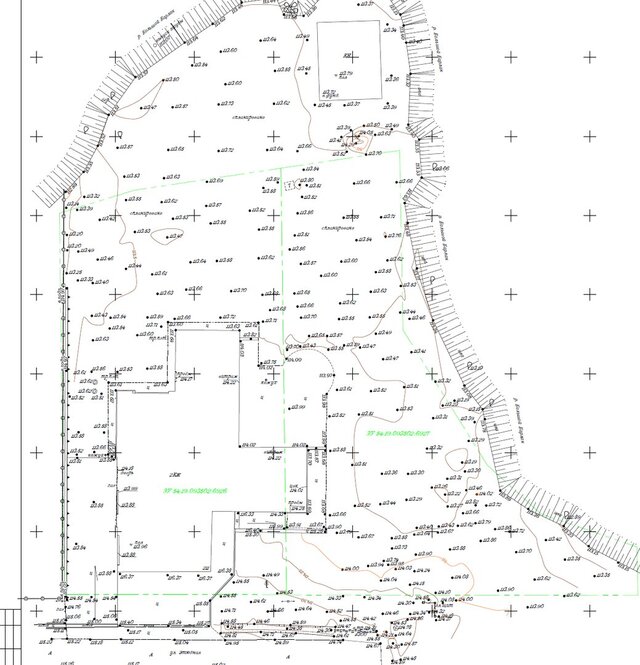


Topographic Plans at Scales 1:200 and 1:250 from Total Station and GPS‑RTK Survey Data

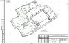
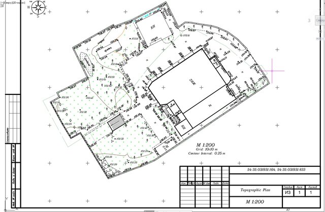
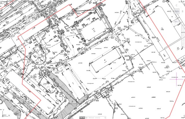
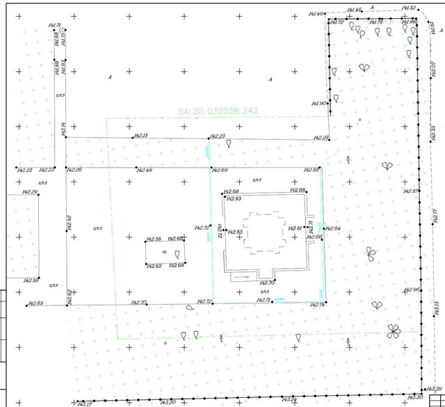
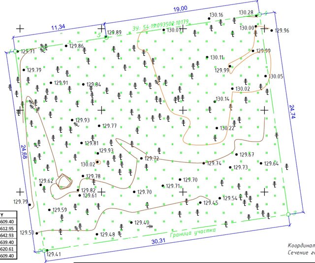
This project showcases a series of high‑precision topographic plans created at scales 1:200 and 1:250 based on field data collected using a Leica TS06 total station and GPS‑RTK equipment.
The gallery includes multiple examples from different sites, demonstrating the ability to handle various terrain types, site conditions, and project scales with consistent accuracy.
Field data was processed in AutoCAD Civil 3D, including contour generation, spot heights, detailed surface features (buildings, roads, utilities, vegetation), and full coordinate referencing.
The final deliverables include ready‑to‑use CAD files with complete topographic documentation suitable for design and engineering purposes at detailed scales.
This project demonstrates proficiency in field‑to‑CAD workflows, accuracy in survey data processing, and the ability to deliver reliable topographic documentation at large scales for infrastructure and construction projects.
Published