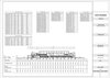
Topographic Mapping & Earthwork Calculation (Local Government Project)
fikriyanor
Follow
Following
Hire
Collect
Share
Share with friends & colleagues
Topographic Mapping & Earthwork Calculation (Local Government Project) design by fikriyanor
Copy link
Email
Messages
WhatsApp
Messenger
Facebook
X.com
Linkedin
Report
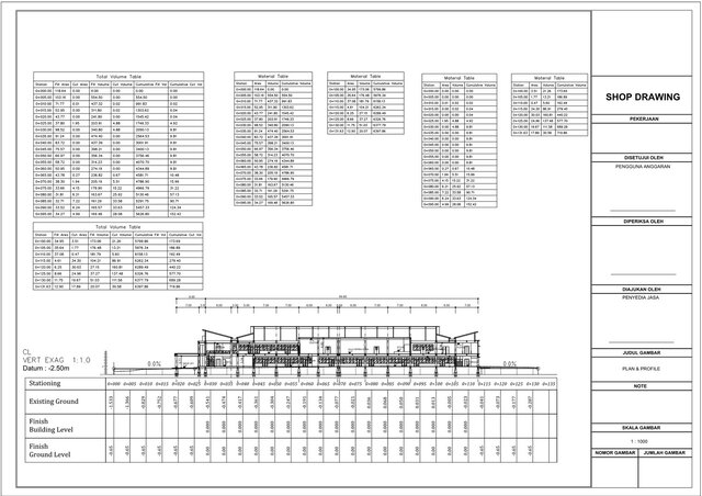
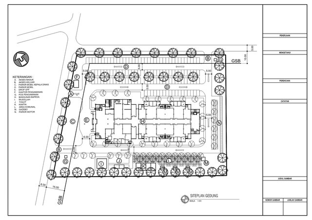
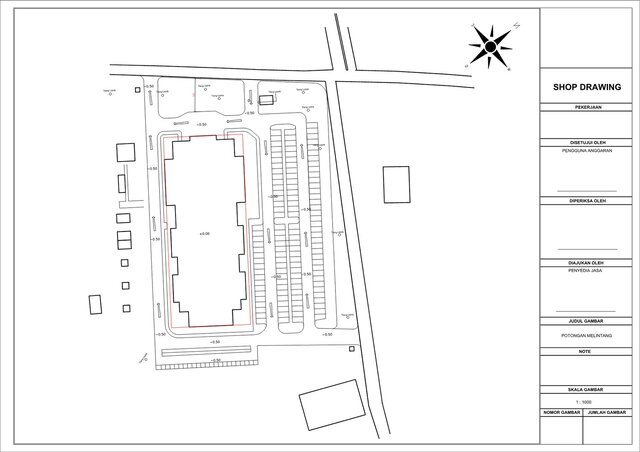
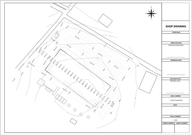
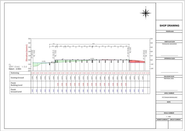
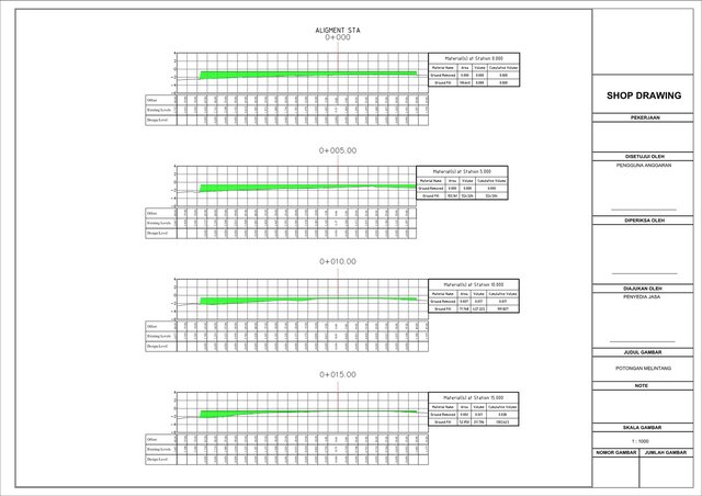
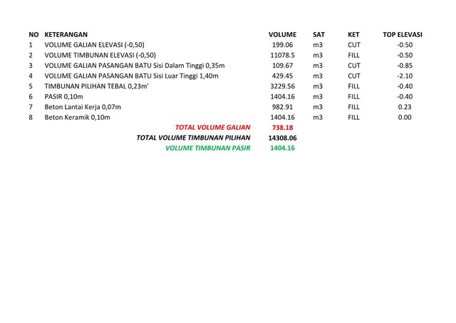
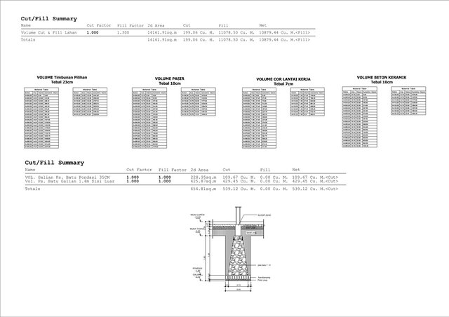
Processed raw survey data into a complete AutoCAD Civil 3D site model for a local government facility (Bappeda). Scope of Work: Grading plan and site layout.
Published
Sep 18, 2026
in
Civil Engineering
AutoCAD Drafting & Design
2D CAD Drafting Services
autocad
civil-engineering
civil-and-urban-planning
topographic-surveying
contour
Rendering Images