

survey-data-cleanup-cad-mapping-1-


**Survey Data Cleanup & Editing | CAD Mapping with AutoCAD Map 3D & QGIS**
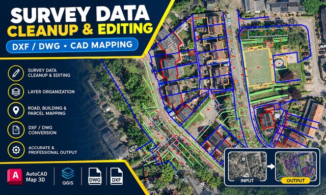
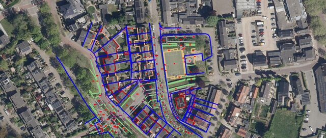
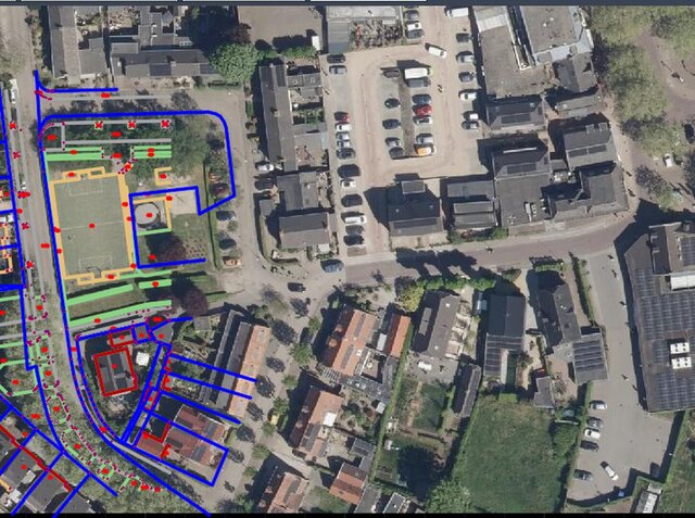
This design showcases a survey data cleanup and CAD mapping workflow, transforming raw aerial imagery and survey data into clean, organized, and accurate CAD/GIS information.
The workflow includes road mapping, building footprint digitization, parcel boundary mapping, CAD layer organization, and survey data editing. It demonstrates how raw geographic data can be processed and structured into a professional mapping output using AutoCAD Map 3D and QGIS.
**Key Features:**
- Survey data cleanup and CAD drawing editing
- Road, building, and parcel mapping
- DWG/DXF file organization and conversion
- CAD layer management and geometry quality checks
- Aerial imagery-based feature digitization
- Accurate and professional GIS/CAD deliverables
This project highlights my skills in GIS and CAD mapping, aerial imagery interpretation, geospatial data processing, and quality assurance (QA/QC).
**Tools Used:** AutoCAD Map 3D, QGIS
**Deliverables:** Organized CAD drawings and GIS data in suitable formats, depending on project requirements.
Published