
Historical Map Georeferencing and Temporal Overlay Analysis

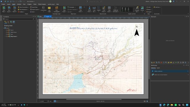
Georeferenced and mosaicked historical topographic map sheets in
ArcGIS Pro, then compared them with modern imagery, survey coordinates,
and CAD layers.
The workflow included coordinate-system verification, ground control
point selection, transformation, RMSE assessment, map-sheet mosaicking,
feature digitization, and temporal overlay analysis.
The resulting GIS layers support the comparison of historical and
modern roads, buildings, drainage features, boundaries, and other
stable geographic landmarks.
Published