

Full Geodetic Support for a Sports Park (3.5 ha / 34,915 m²) – Survey, Grading Design, Earthworks, Stormwater Drainage, and 3D Modeling

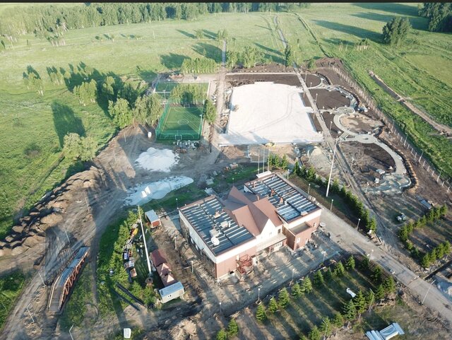
This project involved full-cycle geodetic engineering for a large‑scale sports park development covering 3.5 hectares (34,915 m²).
Scope of work:
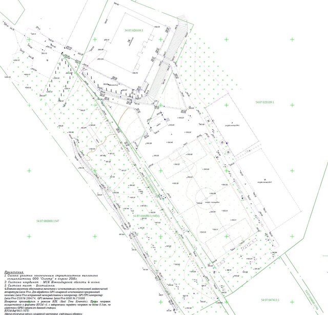
Topographic Survey – conducted using Leica total station and GPS‑RTK equipment to capture existing site conditions with high precision.
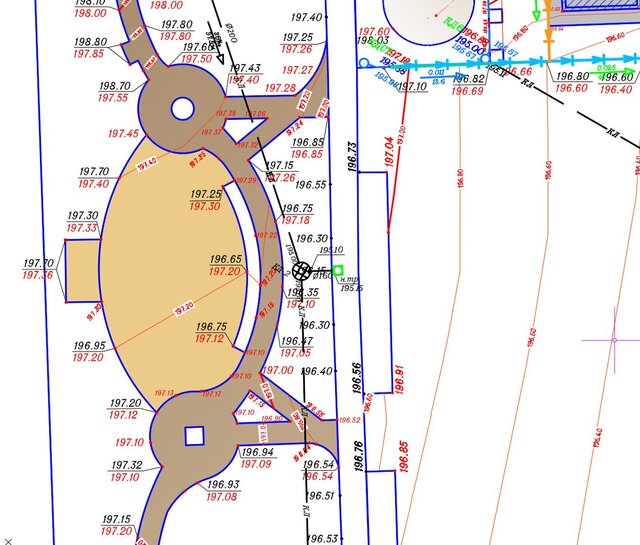
Grading Design (Vertical Planning) – developed a complete grading plan in AutoCAD Civil 3D based on the landscape architect’s design intent, ensuring proper surface water drainage, step elevations, and accessibility.
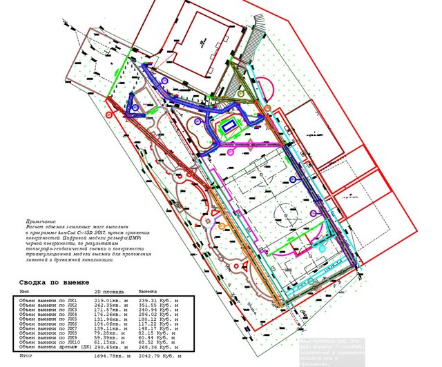
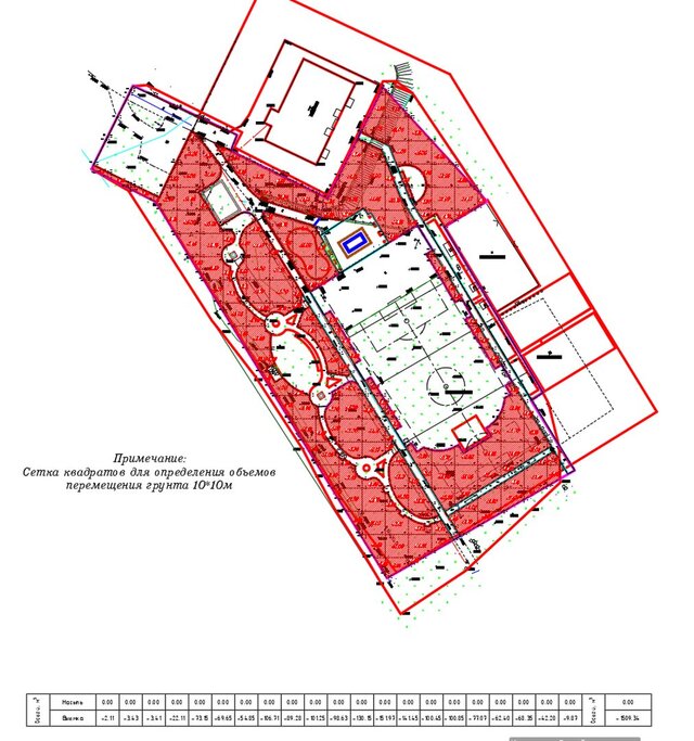
Earthwork Volume Calculations – performed cut‑and‑fill analysis between existing ground and proposed grades, delivering accurate volume reports for contractor bidding.
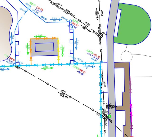
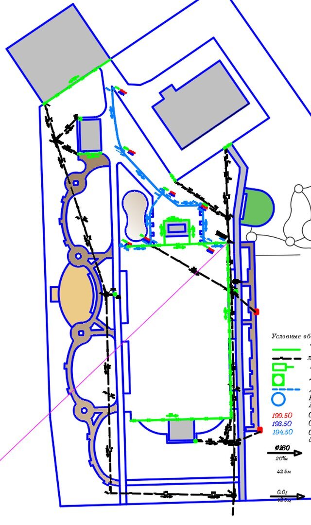
Stormwater Drainage Design – designed the stormwater drainage system including pipe grades, manhole locations, and invert elevations to ensure efficient water management across the site.
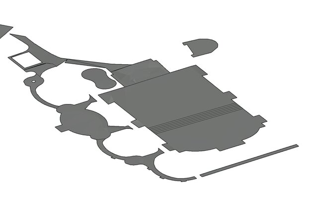
3D Modeling and Visualization – created a detailed 3D terrain model in Civil 3D for client presentations and construction coordination.
Final deliverables:
Topographic plan (scale 1:200)
Grading and vertical planning drawings
Earthwork volume report (cut/fill)
Stormwater drainage plan with manhole schedule
3D surface model of the site
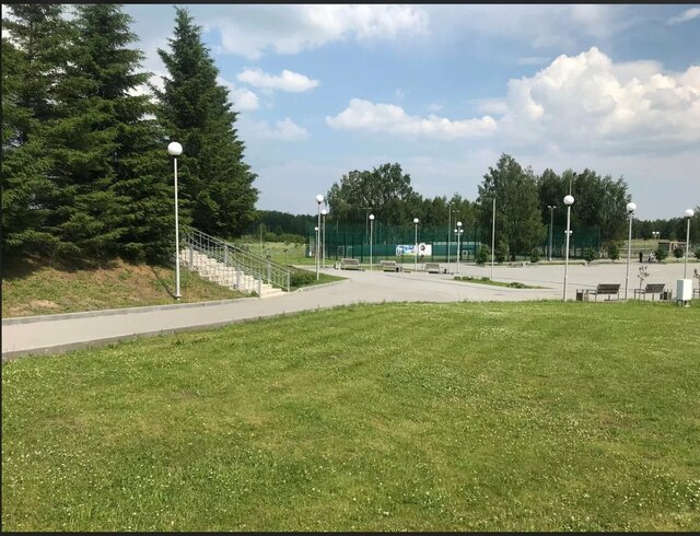
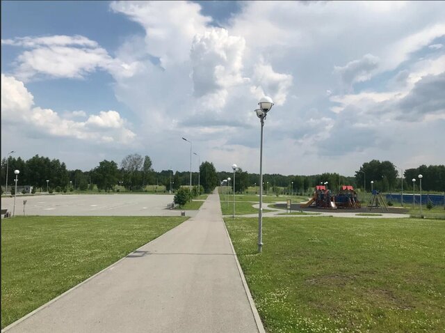
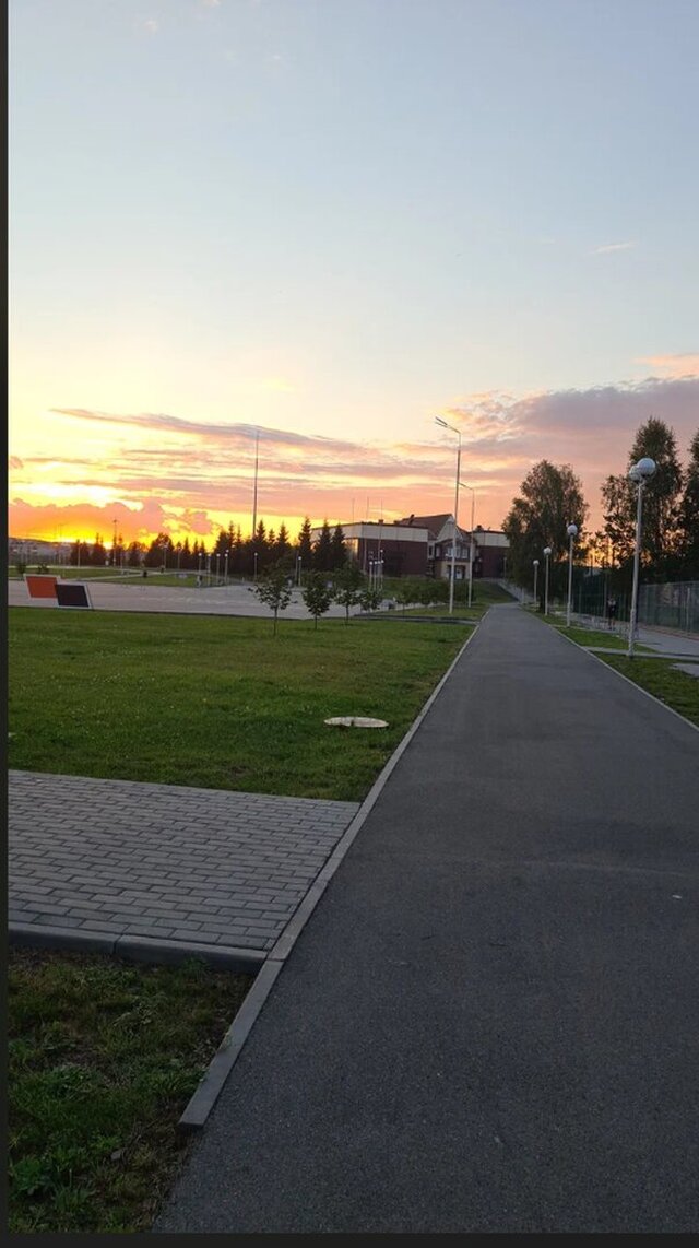
As‑built documentation (with site photos after completion)
This project demonstrates the ability to manage large‑scale, complex sites from initial survey through to construction handover, integrating multiple engineering disciplines into a single coordinated solution.