

Full Cycle: Topographic Survey → Grading Design → 3D Printed Scale Model for Client Presentation

1. Topographic Survey
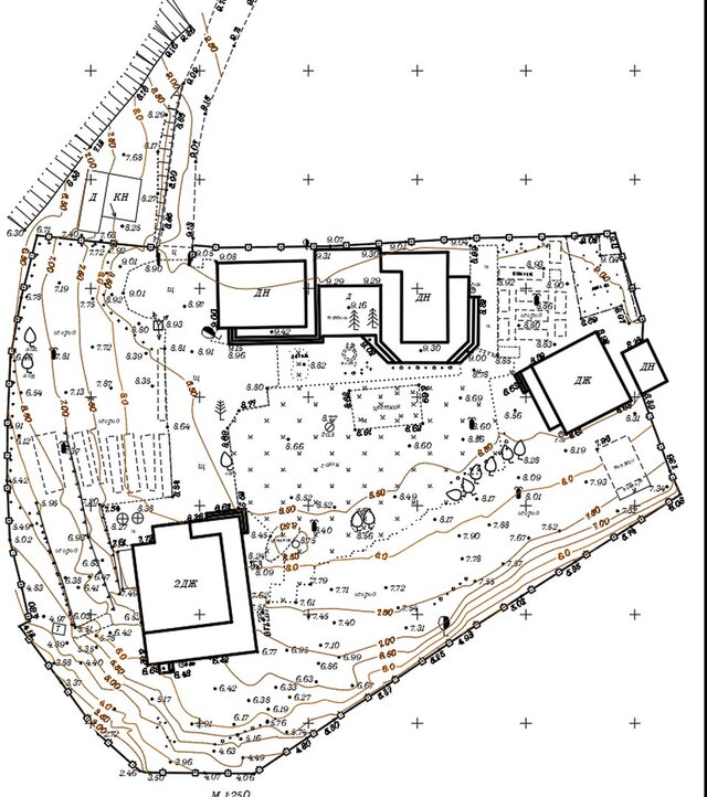
I personally conducted the field survey using a Leica TS06 total station and GPS‑RTK equipment, capturing all site features, elevations, and existing terrain. The data was processed in AutoCAD Civil 3D to produce a detailed topographic plan (scale 1:200 / 1:250) with 0.25m contour intervals, spot heights, and all surface features.
2. Grading Design (Vertical Planning)
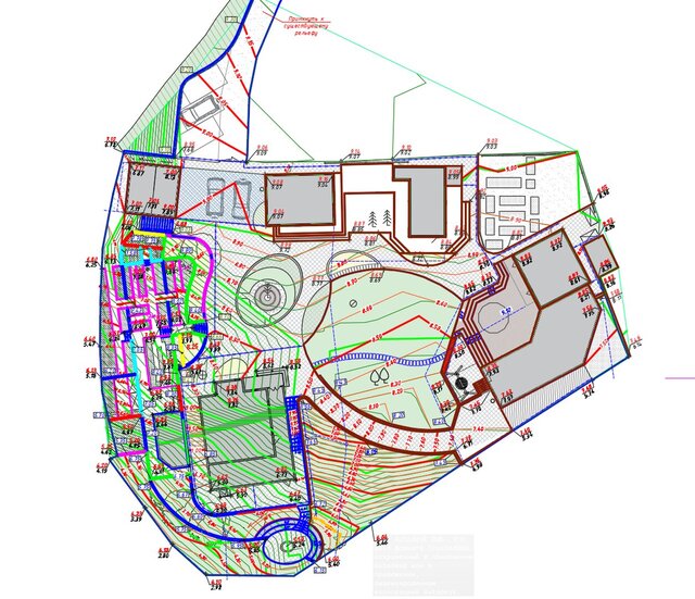
Based on the client’s architectural design and building finished floor levels, I developed a complete grading plan in Civil 3D, including:
Proper slopes for surface water drainage
Step‑by‑step elevation design for pathways and terraces
Height calculations for each individual step
Earthwork volume calculations for cut and fill
3. 3D Modeling and 3D Printing
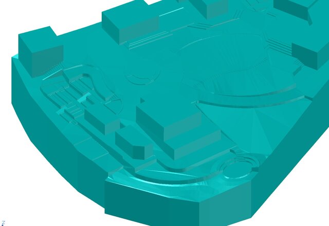
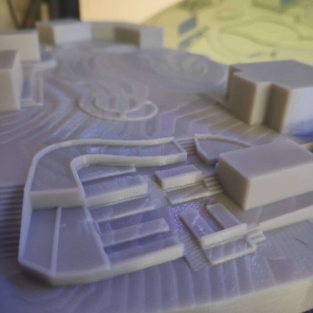
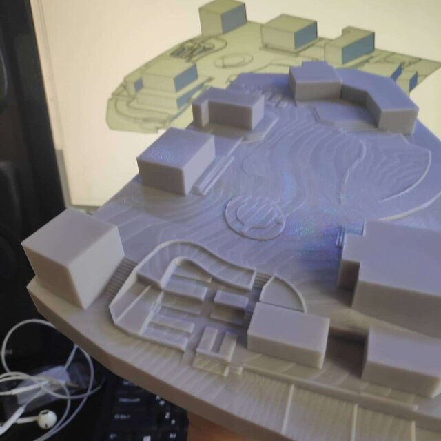
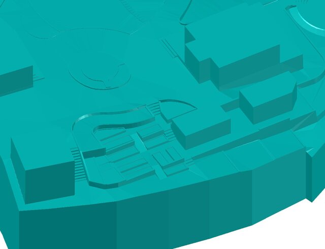
The final grading design was used to create a detailed 3D terrain model in Civil 3D. The model was then exported and prepared for 3D printing using FDM technology, producing a physical scale model of the site. This allowed the client — who could not read technical drawings — to visually understand the final layout before construction began.
Key features of this project:
Full field‑to‑finish workflow
High‑precision topographic base
Engineering‑grade grading design
Physical 3D‑printed model for client communication
This project showcases the ability to deliver a turnkey solution: from raw survey data to a tangible, presentation‑ready model that bridges the gap between engineering and client understanding.