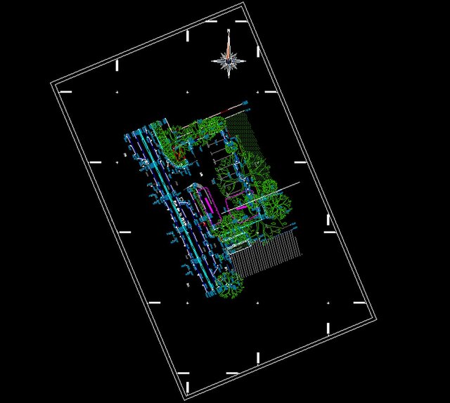
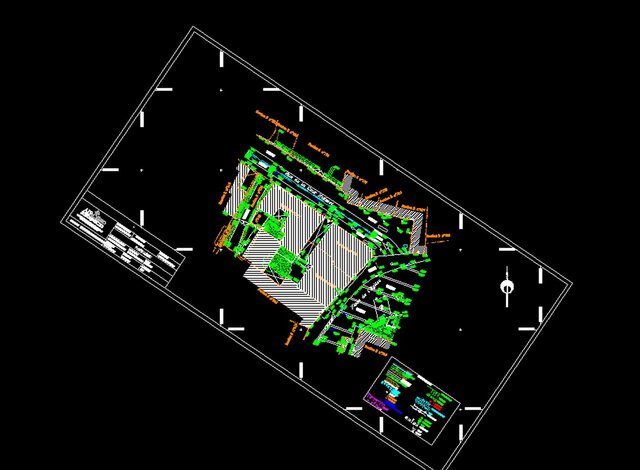
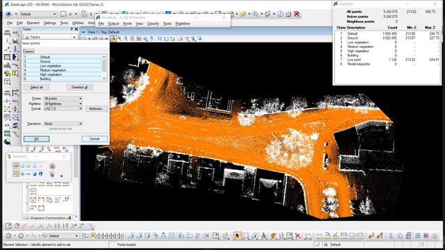
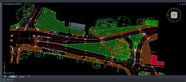


Topographic plan from a LiDAR point cloud

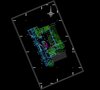
2D topographic plan of a site, drawn directly from a LiDAR point cloud. It shows buildings, trees, vegetation and ground features. Delivered in DWG and PDF with organized layers, correct scale and a clear legend. Drawing precision: 2 cm or better.
Published