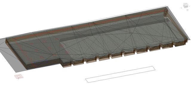
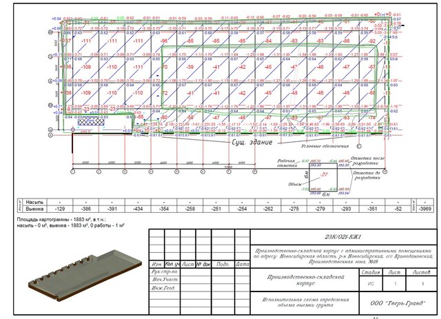


3D Surface Modeling and Earthwork Volume Calculation from GPS‑RTK Survey Data in Civil 3D

This project demonstrates the full workflow from field survey to 3D surface modeling and earthwork volume calculation using AutoCAD Civil 3D.
The survey data was collected personally using GPS‑RTK (Real Time Kinematic) equipment, ensuring high accuracy and reliable ground control points.
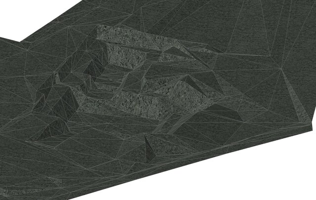
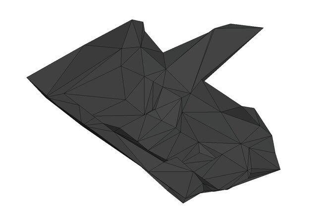
Two separate surface models were created in Civil 3D:
Existing ground surface (pre‑construction)
Proposed / post‑construction surface
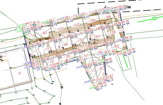
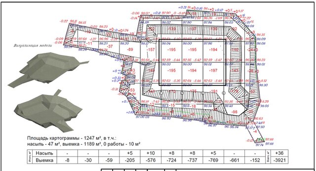
Based on these models, I performed a detailed earthwork volume calculation, comparing the two surfaces and producing a comprehensive cut‑and‑fill volume report.
The deliverables included:
3D surface models (DTM/TIN) with contour generation
Cut‑and‑fill volume reports with precise quantities
Visualizations showing the difference between existing and proposed terrain
This project demonstrates proficiency in GPS‑RTK surveying, Civil 3D surface modeling, and earthwork analysis — essential skills for infrastructure, road, and site development projects.